RIVERS AND CANALS IN ENGLAND
Britain has a reputation of being an island with more than its share of grey and rainy days. It has an average annual rainfall of 1200mm / 48 inches, but the majority of the rain falls in the northern areas of England, and in Scotland and Wales – with south-eastern England receiving a miserly 5-600mm (20-24 inches) a year, which is less than the annual rainfall of South Sudan or Perth in Western Australia.
In 2018 there were six consecutive months of below average rainfall in England and during the previous year the country experienced the driest 10-month period for more than 100 years. Water reservoirs fell to dramatically low levels, and with climate change predicted to bring warmer and dryer weather and more frequent droughts, trouble is brewing, particular for south-eastern England, which is one of Britain’s most densely populated areas.
The London and Thames Valley region is already classified by the UK Environment Agency as being ‘seriously water stressed’, and increased amounts of water are being extracted from the country’s rivers to supply the large population with this essential resource.
Rivers need frequent rainfall to flow and to maintain their health, but sadly only 17 per cent of England’s rivers are currently classified as being in good ecological health.
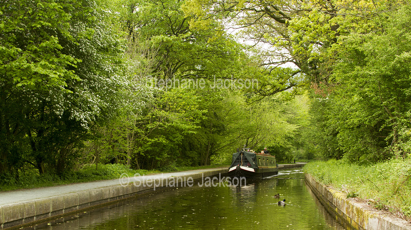
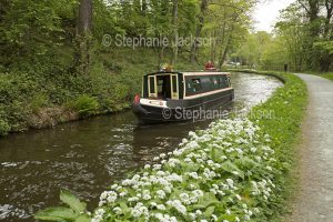
The photos in this image gallery offer a glimpse of some of England’s waterways, and by clicking on the buttons below you can discover the rivers and streams within another region of Britain.
ENGLAND SCOTLAND WALES BUY A PHOTO
To view a list of the rivers, canals, and streams in England that are featured in this photo gallery
CLICK ON A PHOTO TO SEE A LARGER VIEW AND FOR INFORMATION ABOUT THE IMAGE.